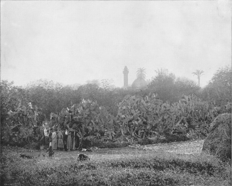
Most of the changes that have occurred in the Middle East in Israel’s area occurred after the early 1900s when loads of immigrants resettled there subsequent to WWI. SO when you see photos of the area taken in the late 1800s and early 1900s, it’s isn’t like looking at a 100 year old photo, it’s like looking at a 1000 year old photo.
I like to look and think about when Jesus walked. The book Earthly Footsteps of the Man of Galilee contain 384 Original Photographic Views and Descriptions of Places Connected with Earthly Life of Our Lord and His Apostles, Traced with Note Book and Camera. It was published in 1894.
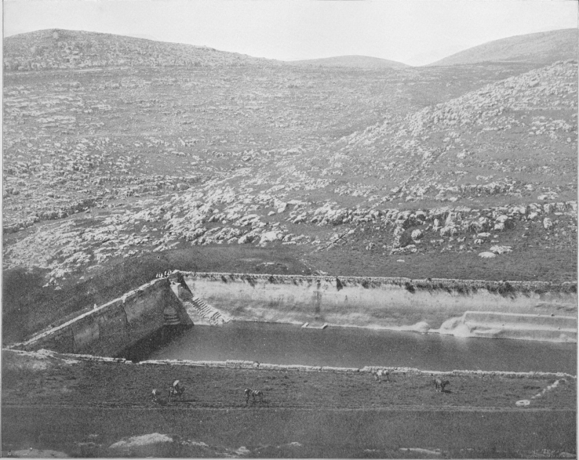
Here is the caption given in the book Earthly Footsteps:
The above view of the lowest and most extensive of the Pools of Solomon gives one an idea of the masonry used in the structure of this remarkable reservoir. Our artist stood upon a hill to the north of this pool. You may see in the picture our horses and dragoman down in the valley, and the few people at the further corner of the pool look like Liliputians. To the south beyond we see one of the Judean hills. If this reservoir were full it would float one of the largest of ocean steamers. In the narrow valley a short distance below the pools is the little village of Urtâs, with ancient ruins, which is supposed to be the Etham where Josephus says were the Gardens of Solomon. There are gardens and fountains there at this day, and it is very probable that upon those fertile slopes running down to the green cup of the hills lay the vineyards, orchards and pleasure grounds of Solomon; and he, walking through his great plantations here, may have communed with his own spirit and arrived at the solution of the problem that “all is vanity and vexation of spirit.” Perhaps here after the cares of state he “went down into the garden of nuts to see the green plants of the valley; to see whether the rose budded and the pomegranates were in flower.” Near by on the summit of her hill, “clothed with the olive, vine and figs,” sits “the little town of Bethlehem,” where in a low khan was born “a greater than Solomon,” who “opened a fountain in the house of David for sin and uncleaness.”
You can also learn more here about the Jerusalem aqueduct system.
When you study the Bible, it’s also good to look at maps, atlas, photos, and geography, as well as history so that when a verse describes activity at an aqueduct or pool, or stopping up a well, or the caves etc., you can really visualize it.
When we read the Bible we know it’s real, but sometimes tend to think that the events and people depicted are far away or even characters instead of living people. King David lived then and he lives now. Being able to have a picture in your head brings things more to mind and helps set events in context.